You can print the map area with or without selections you make on the map either in a portrait or landscape orientation. For more information about selections, see Selecting features on the map. To be able to print a map using more advanced print options, see Printing a map using the Cartographic Map print template.
|
2.
|
On the Command bar, click the Print icon
|
 |
|
3.
|
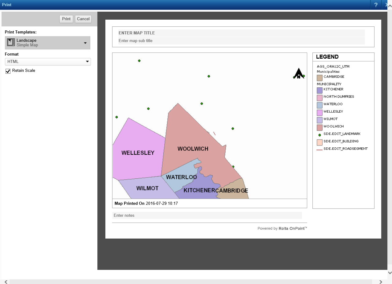
From the Print Templates field, select the map type and page orientation.
|
The Simple Map option prints only the map and Map with Selections includes any selections you have made.
|
4.
|
In the Format field, select either HTML or PDF. An HTML map opens in a browser application while a PDF map opens with a PDF-reader application. This applicable application must be installed before you can print the map.
|
|
5.
|
|
•
|
|
•
|
To use an image from your organization’s gallery of logos, select Choose from Library, then select an image, and click Open.
|
|
7.
|
Select the Retain Scale check box to keep the map scale as it is currently displaying.
|
|
8.
|
Click Print.
|