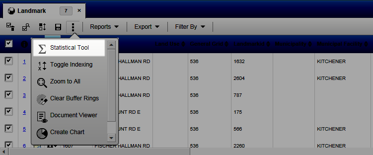
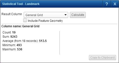
After performing a selection or search, you can select a numeric or geometric field on a layer and have a number of useful statistics calculated for you automatically. Statistics are calculated for those features whose matching attribute data entries are selected in the Results window.
 |
|
4.
|
Select the Result Column drop-down list. In it are displayed all the numeric fields that belong to the attribute data on the layer where you performed a selection or search.
|
|
•
|
In the Statistical Tool window, select the field for which you want to view statistics and then click the Calculate button. Statistics are calculated for those features whose attribute data entries are selected on the Results window.
|
 |
|
•
|
Where the layer is made up of lines (linear map features such as roads) or polygons (map features that have area such as land parcels), you can select Include Feature Geometry to view the total and average area for the map features making up the selection or search results.
|