Metadata is information about the map data that is made available in a structured format. Metadata can provide information that you can use to analyze the quality of the map data, such as coordinate and projection systems.
|
1.
|
|
Alternatively, you can open the Metadata window using the About this Site button in the Help drop-down list. You can also open the Metadata window using the Map Content and Legend pane. In the Layers tab, click the Layer Options button for the map service, and then in the Layer Options drop-down list, select the Metadata button.
|
 |
|
2.
|
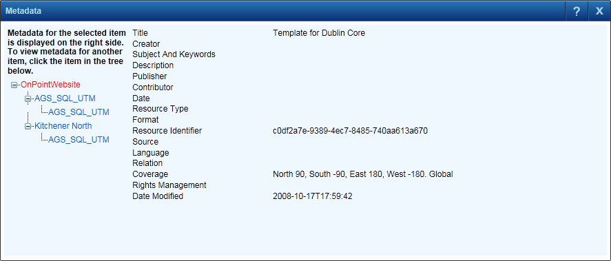
In the tree that appears to the left, select the layer whose associated metadata you want to view. The associated metadata is displayed in the larger pane to the right.
|